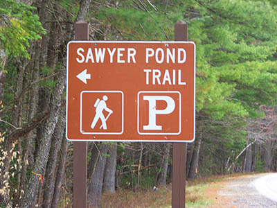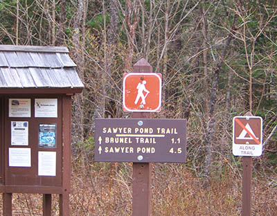
The Sawyer Pond hiking trail is rated as moderate. The trailhead is near Passaconaway Historic Site and Passaconaway Campground. Sawyer Pond Trail heads North from the Kancamagus Highway and connects to Brunel Trail 1.1 miles from the parking area, then passes Birch Hill.
Sawyer pond can be found 4.5 miles North from the Kancamagus trailhead. At Sawyer Pond you will find 6 backcountry camp sites with fire pits and platforms. There is also a toilet and a shelter at Sawyer Pond. In the summer these sites do fill up fairly quickly. The pond also increases the amount of bugs so be sure to bring bug spray! If you are looking for more seclusion you will need to hike away from the trail and Sawyer Pond.
After Sawyer Pond, the trail continues to the west about 2 miles and intersects with other trails. If you follow Sawyer River Trail West, then to the South, it will bring you back to the Kancamagus Highway just East of Lily Pond. Sawyer Pond Trailhead parking lot GPS coordinates are: N43° 59.970 | W071° 21.272 (elevation – 1,182′)

Have you hiked Sawyer Pond Trail? Post information and photos of your hike below!